Facts and Statistics
Hurricane Ridge
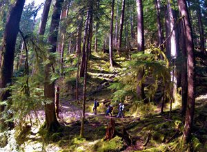
Hurricane Ridge offers many hiking trails and great hiking to any visitor. It is advisable to start your trip at the Hurricane Ridge Visitor Center. Here, you will find orientation movies, exhibits, and restrooms. In addition, an information desk is normally staffed on weekends from December to March and during summer. a gift shop is also available from May to September as well as several weekends from mid December to March.
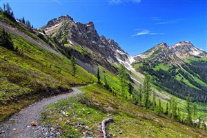
During the summer, hiking the Hurricane Ridge on a clear day presents you with a full view of the surroundings. You will be able to see clearly the Straits of Juan de Fuca, Canada, or even Mt. Olympus. While hiking along the trail, you will come across avalanche lilies, Indian paintbrush, and other sub-alpine flowers such as lupine.
Marymere Falls Hiking Trail
Fairholme Campground Loop Hiking Trail
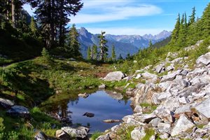
This is another self-guided trip on Lake Crescent Lodge. Start your journey at Fairholme store and continue down until you arrive at Camp David Junior Road. From there, head to the north of Lake Crescent which will take you to the Olympic Discovery trail.
This trail, together with Spruce Railroad Trail will lead you to several train tunnels. When you hike on a clear day, you are likely to see the beautiful pristine lake and see the shadows of a train engine that plunged into the lake thousands of years ago. The elevation gain is around 100 feet and you will encounter old growth forest.
Moments-In-Time Hiking Trail
Lake Quinault Lodge
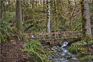
Hiking at this lodge will take you through more than fifteen trails that are well maintained. Each trail offers a diverse ecosystem and a different perspective. They provide a great means of experiencing the beautiful Quinault valley. It comprises 8 miles of nature hiking trails that are interconnected complete with interpretive signs. You can also bring your leashed dog in some of the trails.
Spruce Tree Trail
Maple Glade Trail
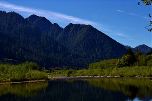
When you think of the temperate rain forest, what comes to mind is the Big Leaf Maple that attracts Oregon selaginella moss. This trail is short but absolutely beautiful. It can be found in the Quinault Rainforest and is easy to get to. In the late evening or early morning, the low sun’s angle backlights the huge leaves and the moss displaying different hues of green. If you are looking for a short hike, then you should consider this one.
Western Red Cedar Trail
Pony Bridge trail
This trail presents a perfect opportunity for hikers who want to experience back country environment. The trailhead is just 17 miles past Lake Quinault Lodge and along South Shore Road. Park your car at Graves Creek Trailhead, which is at the end of the road, and start your 2.5 mile hike into the old growth forest.
The trail is properly demarcated. However, you should know that trail conditions tend to change rapidly during winter storms. Therefore, during early spring and winter, you might have to face fallen trees among other debris along the trail.
Sul Duc Trails
Conclusion
Most of the way, the trail will rise gradually before dipping, as you approach the lower sides. A hiking stick or trekking poles are handy as you descend the hills due to presence of water flowing down the trail, most times of the year. Roosevelt elk can be found along this trail. You should also watch out for black bears. Take note of cautionary signs along the way.
YouTube User ‘Freddy Johnson’ Hikes The Dosewallips Trail
Navigation
[jbio template=”bootbomb0″]

Good info Brian, THANKS!
I hope you can answer one question for me. I plan to hike the Quinault river from Graves Creek CG, over Anderson Pass, down the Dosi, to the trail head parking lot near Elkhorn. I find route info for the entire route except for the space between Enchanted Valley to Camp Siberia. QUESTION: Is there a clear trail that i’ll find that takes me past Enchanted valley and continue over the pass, then down to camp Siberia?
Do you have a link to some info for that part of the hike? THANKS ! ! !
Don Sickle
Hi Don,
I wish I had the answer, but the truth is… I haven’t been on this particular trail myself.
If you ever manage to find the answer, please come back and share the knowledge with me and my readers!
I might hit the Dosewallips Quinault trail myself as well. It’s looking mighty fine to me from just doing a few Google searches.
Sincerely,
Brian