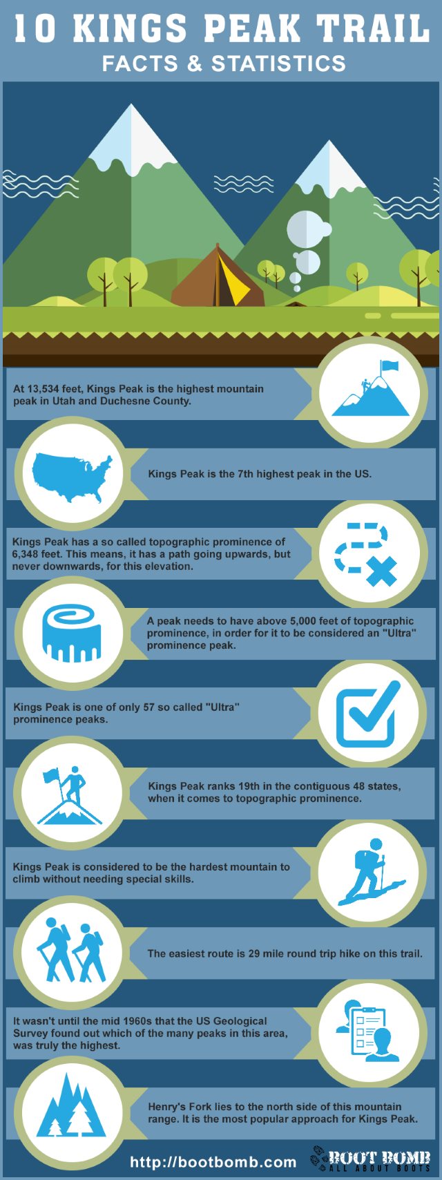
Facts and Statistics
At a height of 13,528 feet, Kings Peak is the tallest mountain in the state of Utah. It is one of the most popular hiking spots in the area, receiving more than 5,000 visitors every year, especially during summer.
It has always been a favourite for casual back packers, Boy Scouts, and serious hikers. Kings Peak is the crown jewel of the Uinta Mountain range found in Eastern Utah. The peak can be accessed from different directions and paths.
Henry’s Fork
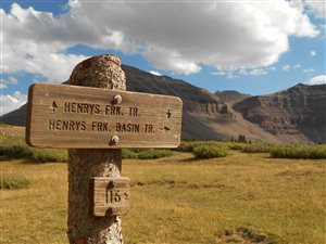
After travelling for around 3 miles and gaining about 430 feet of elevation, you will come across the Alligator Lake trail heading to the right. Walk straight for around 2.5 miles and you will come across Elkhorn stream. When you reach this point, turn east and cross the stream using a log bridge.
When you reach the other side of the stream, follow a southerly direction and you will find Dollar Lake after a few miles. You can set your camp here or proceed with the hike and set your camp close to Gunsight Pass. As you walk along the ridge after Gunsight Pass Peak, you will find the North Ridge Route that will take you to Kings Peak.
Alligator Lake
This is the first camping spot that you will come across when you get started, a few miles from the trailhead. This makes it a suitable and potential for first night and last night for hikers. It can be a popular camping place; however, it can get a bit crowded from July to September.
Yellowstone Creek Trail
However, a huge part of it is in the forest, which might be quite boring for experienced hikers. The last couple of miles are quite exciting as you pass through the nice alpine meadows. There is also a narrow gorge formed by Yellowstone creek that breaks the monotony of hiking through the forest.
The other alternative is to go right immediately after the trailhead and follow the Swift Creek trail that is going to lead you to Milk Lake. This trail provides better scenery since you will be hiking on the ridge of a crest for quite some distance. You are also going to encounter some large beaver ponds as you approach Deer Lake.
After Deer Lake, just follow the trail and you will find a junction. From the junction, take a left turn and proceed with the trial over Bluebell Pass and past Farmers Lake. After a small descent, you will arrive at Milk Lake.
Follow the trail at the base of the ridge towards east. You will encounter beautiful and spectacular alpine meadows filled with wild flowers. After Milk Lake, there is no trail. However, this is not something to worry you since finding the cross route is easy. The travel is not difficult and there are open views.
Uinta River Trail
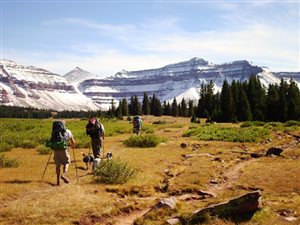
From the trailhead, move north hiking along the Uinta River. After hiking for around 3 miles, you will find a junction. Turn left, crossing Sheep Bridge, which will lead you to the Chain Lakes Trail. Following this steep trail, you will arrive at Chain Lakes Basin.
You can set your campsite around the series of lakes in this area. You can take the trail all the way to pass at Anderson. However, the shortest route is to climb the kings directly from the east and approach the north ridge. There are several boulders in this section, but they are not something to worry.
The Standard Route
This is the route towards the north ridge chosen by most hikers. Regardless of the approach you take, this route will always start at Anderson Pass. From that pass, take a southerly direction towards the summit. It is simple and straightforward. It will only take you around one hour when you start at Anderson Pass. The path is clear due to many years of activity.
King-Emmons Ridge Trail
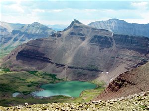
If you intend to follow this route, choose your timing very carefully to ensure there are no thunderstorms since you will be above the tree line level for most part of the journey. This can be dangerous during stormy weather. You will have a chance of seeing all the seven peaks, before descending.
Best Time to Visit
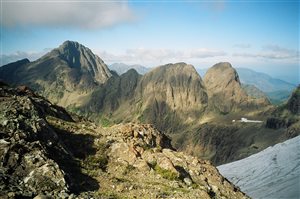
You can do your camping at any of the trailheads, as long as you identify a nice spot. You can also camp at any of the lakes flanking the peaks. Water is readily available on the sides of the mountain and the numerous basins in the area. Most people prefer camping at one of the ponds of Gunsight Pass as you approach Henry’s Fork.
Conclusion
Ensure that you are adequately prepared in advance. Pack up all your supplies before hand to avoid shortages once you are out there. Evenings are generally cool throughout the year so you are definitely going to enjoy your trip.
Youtube User ‘BackYard Hiker’ On The Kings Peak Trail
Navigation
[jbio template=”bootbomb0″]

0 comments