
Facts and Statistics
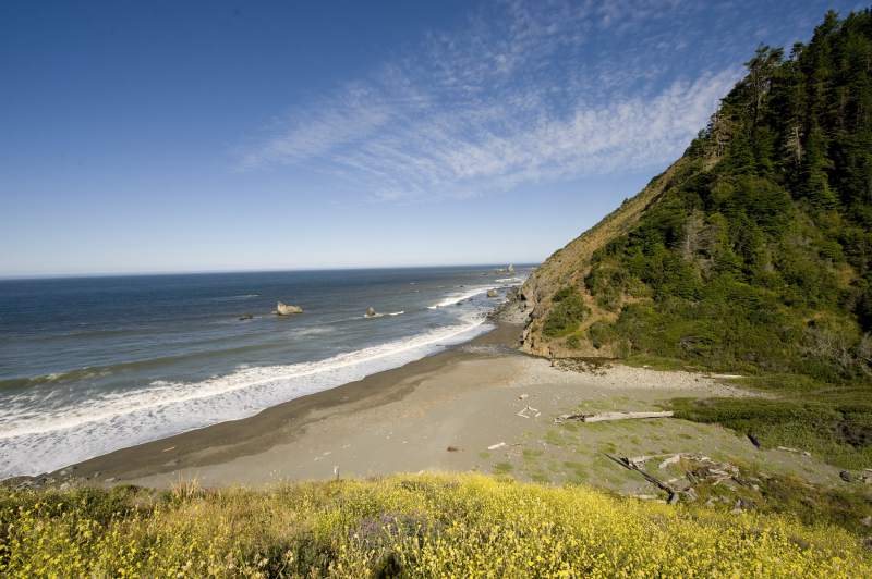
The Lost Coast Trail (also known as the “LCT”) California is a magnificent beach and forest hiking trail located in Northern California that stretches almost 25 miles long. This beautiful beach and forest trail is a hidden treasure, as a lot of people do not know of its existence, hence its name “The Lost Coast Trail.”
What makes this trail unique is that it can be hiked or trekked across all year long, with the exception of high tide, as long as you plan properly to ensure your safety at night when walking along the water or in the forest along the California North Coastline.
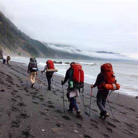
If you’re looking for an untouched, unpolluted and untainted trail then this is a great choice for experienced hikers as without a doubt, you’ll get your boots wet.
Elevation and Terrain
The elevation of Lost Coast Trail is negligible and mainly considered “sea-level” as hikers and explorers use the beach line to adventure across this enormous, nature-filled trail.
Important Note: It is reported that at least twice per day the walking beach trail disappears entirely, therefore extreme caution, planning, and a professional guide is recommended or may be necessary.
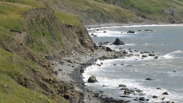
Given the above warning, scaling the dirt, mud, or soil mountainside will be necessary at times or points if you are solely hiking the trail based on the dirt road or sand path nearest to the beach. However, this does not take into account hiking through the forest along the coastline, and, other paths are available should you be willing, experienced, and have the necessary gear to hike it this way – such as vertically across or up and over the hills.
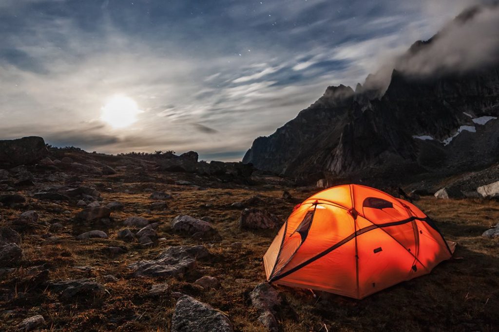
With terrain being “mild” at best, a trekking pole is necessary and light hiking boots should do the trick –just make sure they are waterproof! This is a wonderful place for camping along the trail, and although bear-proof canisters are recommended, in general few if any hikers have reported any incidents or injuries from wildlife.
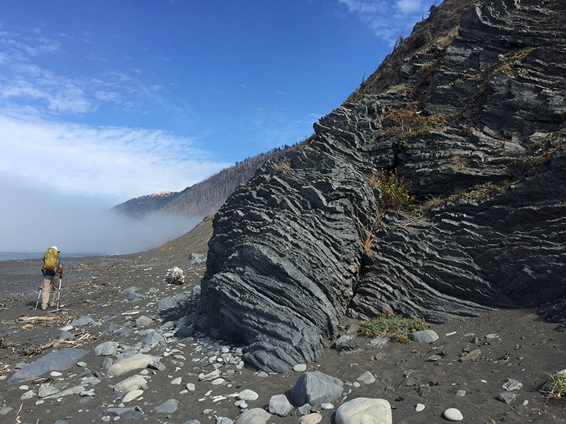
The terrain ranges from beach sand, to soft soil, and lots of rocks depending on the route you choose and where tide stands when you are making your journey. Because of this, durable rock climbing boots may be preferred, or bringing an extra pair to swap out and switch between light and heavy to ensure both stamina and comfort on your journey.
Did we mention you can stop to go surfing during your trip? No other notable trails exist that offer this flexibility in environment, climate, terrain, and elevation to make for the perfect trip and meet the needs and ambitions of most seasoned trekkers and explorers.
Climate and Temperature
Recommendations for a safe and peaceful journey
Experienced hikers recommend trekking the Lost Coast Trail between the months of May and October as the winter and following months can bring harsh colds, significant precipitation, and an otherwise uncomfortable journey for those not properly equipped or experienced in hiking through rougher conditions and climate.
Some other things to prepare and consider:
- Always test your water first
- Purchase and bring a “Tide Chart” along with you on your journey
- Watch, be mindful of and always respectful toward wildlife
- Bring water shoes for trudging through water and mud
- Bring insect repellant to keep ticks and mosquitoes at bay
- Before setting off always make sure you double check your map, planned path, trail, and share with a family or friend before your journey
Total Trail Coverage: Humboldt County v. Mendocino County
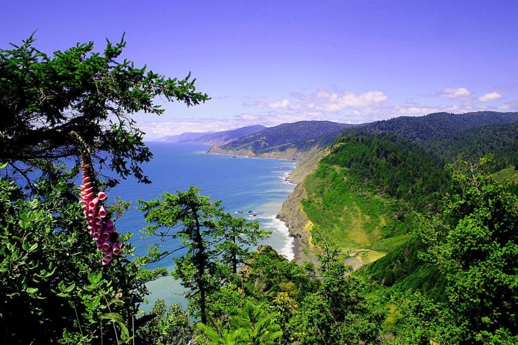
The Lost Coast trail of California reaches from Humboldt County all the way to the more populated Mendocino County.
Thankfully (and we say this from an environmentally friendly perspective) efforts to develop an official road and other construction on the local trail were failed in the early 1960’s and in turn have unfortunately left the trail a little desolated. For any trekker and backpacker this is most desirable as it means a more natural feel, experience, and opportunity for you to feel “one with nature.”
Trail Location and Passes
Due to the California Lost Coast Trail being between two counties and expansive in varying terrains hikers have the ability to either start from north to south or south to north. However, it is recommended that hikers start from the North in the vicinity of Matolle Beach so that you can have the wind to your back and face less upward pressure and challenge on your excursion.
It is also worth noting that due to the uneven, unpredictable terrain and environment of the Lost Coast Trail that even Highway 1 has been rerouted so accessing the main road will be a bit of a trek and not easy regardless of where in-between your route and adventure you are located.
White Blazes and Trail Markers
Your best bet if you’re looking for a well-marked trail to trek is to take the forest route along the Lost Coast Trail in California. This is understandable, as placing and maintaining clear markers along the beach or adjoining beach trail would be difficult given the rising and seasonal changing tide levels.
Overall, both experienced and amateur backpackers and trekkers rated the Lost Coast Trail as very trail marker-friendly, useful, and that all forest markers were in place and reliable during their journey.
Festivals and activities
There are no known festivals and activities on the Lost Coast Trail, but we believe that this is a major part of what makes it so special! That is, without the hustle and bustle, noise and light pollution of such events you’re given the most natural, undisturbed, nature adventure and experience.
Volunteer Presence
There is no specific or designated organization that we know of which focuses on volunteering on the Lost Coast Trail, however California has many affiliated volunteer and non-profit organizations that do cleanup and environmental awareness such as the Pacific Trail Crest Association (PTCA) and V-O-Cal.
Hiking Gear Recommendations
Extra rain gear, a change of shoes, and waterproof trekking boots are all highly recommended given the nature and climate of the trail, to prevent you from becoming too cold, sick, or uncomfortable during your trip. Some other important items to consider bringing on your trip include:
- Extra water bottle and filter
- Waterproof bags
- Waterproof backpack
- Waterproof socks and shoes
- Waterproof clothes, such as jackets, pants and undies
- First aid kit
- Wildlife repellant or spray
- An emergency phone
- Emergency flares
- Portable cookware
- Bathing suit
- GPS device (or watch)
- A cooking thermos
- Lightweight sun gloves
- Camping cot
- Camping chair
- Sun scarf
- Trekking poles
- Lighting
- Extra bottles of sunscreen (SPF 50+)
- For fishermen: kayak and fish finder
Transportation and Distance from Towns
Hikers have the option to start either north at Mattole Beach or Black Sands Beach near “Shelter Cove., or by heading out from the South at the Black Sands Beach from Usal Beach, which is in the Sinkyone Wilderness State Park area. No matter where you start from, it is still possible to move aside, or exit the trail at one of two campsites along the way or by trekking from the forest trail to the main highway via Shelter Cover Rd and Briceland Thorn Rd. from the main route to connect back with US 101 via Shelter Cove to the east.
However, fellow public campsites and (often vacation home) residences along the water only accessible by boat should not be relied on as contacting help or getting support in any event, once again underlining that the Lost Coast Trail is indeed not for the faint of heart or inexperienced trekkers.
Tent Requirements
A waterproof tent is practical, and also always be sure to bring extra supplies, stakes, maps, a GPS if possible, and extra fire-making devices – and don’t forget to close your tent when not in use to keep unwanted critters at bay!
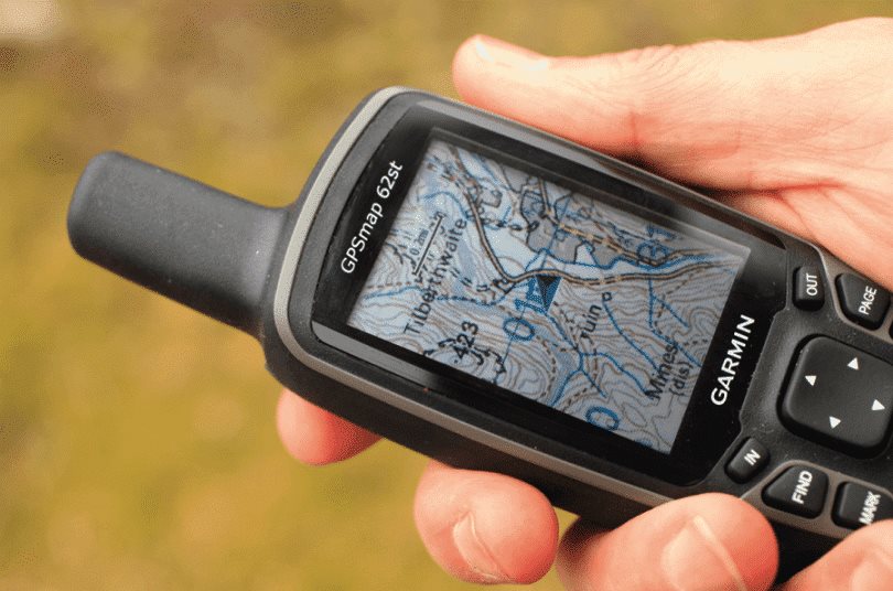
Extra Tip: A good alternative to a (costly) GPS device is to search for and download a trusted GPS App for your phone, however some personal GPS and Maps devices can be had for as little as $95-$200 found at your local Walmart’s camping and outdoors department. Both Garmin and Triston make great, ideal for backpacking and trekking trusted products to name a few.
Who the Lost Coast Trail is Ideal for
- Those seeking a challenge and various terrains
- Experienced mountain and forest trekkers and backpackers
- Those comfortable with an overall “moderate” walking and trekking level challenge which is long-distance and has limited stops and accessibility to local towns
- Adventurers that enjoy natural sunlight, exploration, and wildlife
- Backpackers looking for multi-day journeys
- Backpackers that have a passion for swimming and surfing, and taking in the sights
- Trekkers not afraid to get wet!
Who the Lost Coast Trail is not ideal for
- Trail runners
- Those wanting to bring pets along (unstable, uncomfortable, and damaging soil and rocks are prevalent)
- Inexperienced solo travelers and trekkers
- Those with unexperienced overnight trekking outdoors or in the woods
- Trekkers that cannot swim
- Those with fear of heights
Are you ready to take on the Lost California Trail?
You should be prepared for and understand that completing the Lost Coast Trail takes the average trekker approximately 3 to 4 days total including rest, and that markers are most available and visible in the accompanying forest trail – not directly on the beach trail.
There is also a lot of wildlife, tough terrain, and weather along the coast at all times of the year which means you should absolutely prepare all-weather gear in advance, map your travel accordingly, and always travel in a group or with a friend if possible. There is also a tourist bus that is available at certain times of the year and will also assist you in the drop-off pick-up points on the trail if previously agreed and is not a free service.
The Lost Coast Trail Embed
Navigation
[jbio template=”bootbomb0″]
0 comments